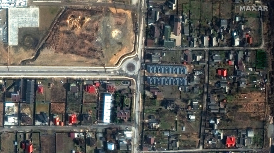
How AFP has used data analysis to cover the Ukraine war / Photo: - - Satellite image ©2022 Maxar Technologies/AFP
 Seoul dives on mixed day in Asia as Samsung fails to ease tech woes

 Belgium dump US out of World Cup after Balogun row

 How US is using cash and threats to dump migrants in Africa
 Democrat in key US Senate race denies sex assault claim
 Samsung expects 1,800% leap in quarterly operating profit on AI boom

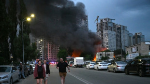 Russian strikes kill at least 26 in Kyiv region on eve of NATO summit

 Ronaldo 'won't make rash decisions' following last World Cup game
 Paraguay govt slams lawmaker for racially abusing France's Mbappe

 US embraces Balogun World Cup reprieve as world seethes

 Spain win it late to give Ronaldo bitter end to World Cup career

 Spain edge Portugal to end Ronaldo World Cup dream, US eye quarters

 Spain win it late to bid farewell to Ronaldo at World Cup
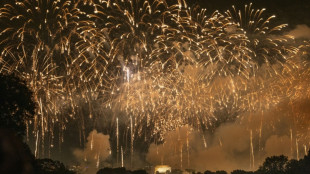 Trump's fireworks made Washington world's most polluted city

 Stock markets meander as US tech stocks climb

 Britain's Fery stuns Dimitrov, Paolini into Wimbledon quarters

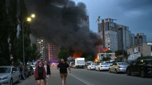 Russian strikes kill 24 in Kyiv region on eve of NATO summit

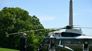 Trump touts latest White House renovation: a new helipad
 Fritz powers past Bublik, into Wimbledon last eight again
 Ovechkin won't say next NHL season will be his last
 Djokovic, Sinner aim to book Wimbledon blockbuster
 Record fireworks display choked Washington in toxic smoke

 Macron in Syria on first post-Assad visit by West European head of state

 US streamers launch new legal fight against French content rules

 EU tells France to amend social media ban law

 Losses from latest French museum heist estimated at 4.5 mln euros

Since Moscow launched its full-scale invasion of Ukraine exactly four years ago, AFP has used open-source data and satellite imagery to support reporting by its teams on the ground.
As both sides mark the start of the conflict's fifth year, here is how that information is being used to provide context and information, helping cut through the fog of war.
- Geodata -
Geospatial data -- data describing things based on their location -- has been particularly helpful in coverage of the war.
It has made it possible to map how territorial control by Russian and Ukrainian forces is evolving, and to show movements of the front line in areas that are difficult to cover.
AFP uses material supplied by the Institute for the Study of War (ISW), which works with the American Enterprise Institute's Critical Threats Project (CTP).
These two American think tanks assess and detail daily developments in the conflict using statements from Ukrainian and Russia military commanders, publications by military observers, and satellite images.
They provide the corresponding geospatial files to media outlets, including AFP.
The two organisations sort Russian actions into four categories: territory occupied by Russian troops, areas where attacks and operations are underway without full control, Russian territorial claims that ISW has neither confirmed nor refuted, and, more recently, Russian infiltration missions into Ukraine.
AFP has archived these files and tracked evolutions in these categories from the very first days of the conflict.
- How it's used -
Initially, this data was used to produce maps.
In September 2022, AFP also used it for the first time to quantify the extent of the Russian occupation in four Ukrainian regions that Russia has claimed (Donetsk, Lugansk, Kherson, and Zaporizhzhia).
Since then, AFP has automated area calculations of the geographic files supplied by ISW and cross-references them with the size of Ukrainian regions.
That is done using data by the collaborative mapping project OpenStreetMap.
This has allowed AFP to calculate the size of territory gained or lost by the Russian army.
That includes fully controlled territory, partially controlled areas, as well as more vague Russian territorial claims that ISW has not yet been able to verify.
Russia occupied around 19 percent of Ukrainian territory as of Tuesday, according to this analysis.
Around seven percent, including Crimea and parts of the Donbas, was already under Russian control before the invasion began in February 2022.
- Eyes in the sky -
AFP also enhances its coverage with satellite imagery.
Analysis of satellite images by Maxar Technologies (now Vantor), a US software company specialising in spatial intelligence, proved crucial in covering the Bucha massacre at the start of the war in early April 2022.
At the time, an AFP team observed at least 20 bodies of men in civilian clothing lying in the streets of this town northeast of Kyiv, which Ukrainian soldiers had just retaken from the Russians.
Russia claimed the bodies had been placed there after its troops withdrew, but Maxar's images from mid-March seriously undermined that version of events.
Satellite images have since helped shed light on situations on the ground.
In June 2023, they were used to monitor the Dnipro River's water levels around the Zaporizhzhia nuclear power plant after the destruction of the Kakhovka dam.
D.Cunningha--AMWN